10081. Jack Botham aerial photograph 630. East Road on right and its junction with Windsor Road, later to become Oakwood Avenue.
Date: c1962
Image ID JBA_584
Added 2010-07-21 07:47:49 |
10082. Jack Botham aerial photograph 9220. View looking south - Mill Road lower left and Kingsland Road upper right. Fountain Hotel with the dance hall to the right of ...
Date: c1962
Image ID JBA_576
Added 2010-07-21 07:40:35 |

10083. Jack Botham aerial photograph 3311. Upland Road. Queens Corner top left.
Date: c1962
Image ID JBA_564
Added 2010-07-20 19:27:50 |
![10084. ID JBA_562 Jack Botham aerial photograph 3310. Upland Road, water tower. The large tank behind the tower was built but never used [RG]. The entrance to Reymead Close was ... 10084. ID JBA_562 Jack Botham aerial photograph 3310. Upland Road, water tower. The large tank behind the tower was built but never used [RG]. The entrance to Reymead Close was ...
Cat1 Aerial Views-->Mersea](MMImages5/JBA_562.jpg)
10084. Jack Botham aerial photograph 3310. Upland Road, water tower. The large tank behind the tower was built but never used [RG]. The entrance to Reymead Close was ...
Date: c1962
Image ID JBA_562
Added 2010-07-20 19:26:38 |
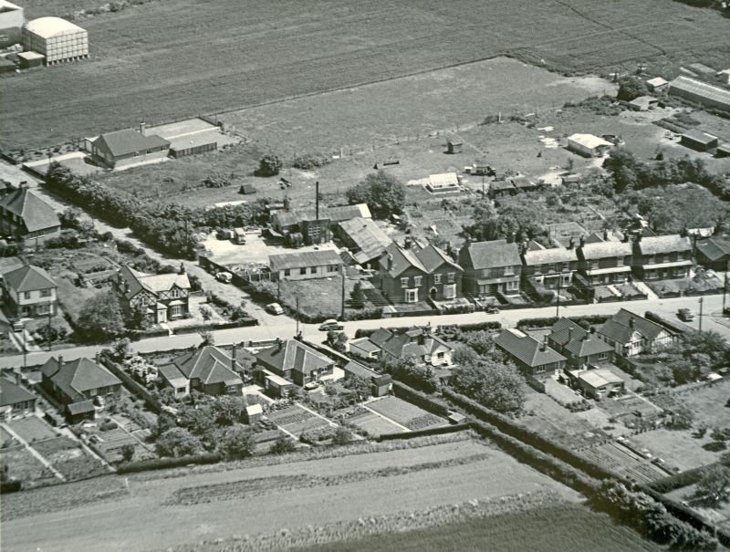
10085. Jack Botham aerial photograph 3309. High Street North with Upland Road going off towards upper left. Sam Webb's bungalow on Upland Road and his field behind it ...
Date: c1962
Image ID JBA_560
Added 2010-07-20 19:25:25 |
10086. Jack Botham aerial photograph 3309. Junction of High Street North and Upland Road, which is continued as a bridle way to the bottom right hand corner. The ...
Date: c1962
Image ID JBA_556
Added 2010-07-20 19:13:42 |
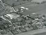
10087. Jack Botham aerial photograph 3118. High Street North, Upland Road, Water Tower
Date: c1962
Image ID JBA_554
Added 2010-07-20 19:12:03 |
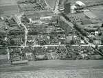
10088. Jack Botham aerial photograph 9217. High Street North and junction with Upland Road. Water tower at top - with scaffolding on it. The large tank to the south of ...
Date: c1962
Image ID JBA_552
Added 2010-07-20 16:47:05 |
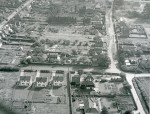
10089. Jack Botham aerial photograph 1703. View looking south, Firs Road across centre, Rosebank Road upper right.
Date: c1962
Image ID JBA_539
Added 2010-07-20 08:36:11 |
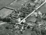
10090. Jack Botham aerial view 3116. The Lane lower right and Firs Chase to top right. Vine Cottage, Smithfield Cottages, Canada Cottages, Rosary, Sadlers Cottages on ...
Date: c1962
Image ID JBA_506
Added 2010-07-20 06:31:52 |
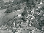
10091. Jack Botham aerial photograph 1729. The City, Old Victory lower centre, the Lane stretching away in centre of picture. Nothe and Dabchicks lower left.
Date: Before 1963
Image ID JBA_500
Added 2010-07-20 06:22:49 |
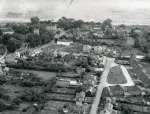
10092. Jack Botham aerial photograph 608. Churchfields. White Hart on the left.
Date: c1962
Image ID JBA_442
Added 2010-07-19 22:16:47 |
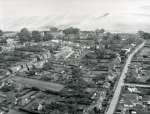
10093. Jack Botham aerial photograph 607. Churchfields on the left. St. Peter's Road on the right, looking south.
Date: c1962
Image ID JBA_440
Added 2010-07-19 22:14:08 |
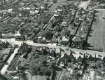
10094. Jack Botham aerial photograph 3609. High Street looking west. Melrose Road lower left.
Date: c1962
Image ID JBA_434
Added 2010-07-19 21:26:47 |
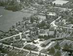
10095. Jack Botham aerial photograph 3120. Barfield Road along bottom with Clifford White's Yard. Melrose Road. The large house just above centre is the Gables, since ...
Date: c1962
Image ID JBA_426
Added 2010-07-19 21:17:51 |
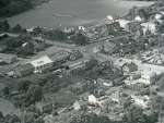
10096. Jack Botham aerial photograph 9133A. Underwood's Garage on left and school upper centre. Kingsland Road across the centre.
The brick building at the back ...
Date: c1962
Image ID JBA_424
Added 2010-07-19 21:16:32 |
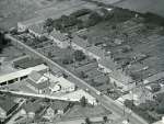
10097. Jack Botham aerial photograph 9135A. Barfield Road. Clifford White's yard lower left. Old council houses on north side of road - they were named Stour Terrace. ...
Date: c1963
Image ID JBA_416
Added 2010-07-19 21:06:44 |
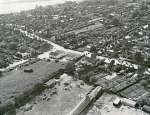
10098. Jack Botham aerial photograph 3608. Digby's Corner, Griffon Garage. High Street across the centre. Looking south west. Reymead Close was built on the land lower ...
Date: c1962
Image ID JBA_414
Added 2010-07-19 21:05:05 |
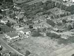
10099. Barfield Road and High Street North with Griffon Garage on the left. Griffon Garage is now the site of Tesco and in the lower centre are the Fire Station and ...
Date: 29 August 1965
Image ID JBA_412
Added 2010-07-19 21:03:37 |
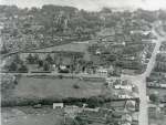
10100. Jack Botham aerial photograph 618. Digby's Corner, with High Street on the right and Barfield road across the centre.
Date: c1962
Image ID JBA_410
Added 2010-07-19 20:59:41 |

10101. Jack Botham aerial photograph 3119. Griffon Garage and Digby's corner. High Street bottom left to middle right.
Date: c1962
Image ID JBA_406
Added 2010-07-19 19:10:05 |
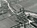
10102. Jack Botham aerial photograph 3606. Brickhouse Farm, High Street North.
Date: c1962
Image ID JBA_402
Added 2010-07-19 19:06:26 |
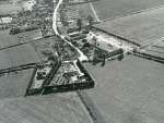
10103. Jack Botham aerial photograph 3605. Brickhouse Farm, High Street North.
Date: c1960
Image ID JBA_400
Added 2010-07-19 19:04:22 |

10104. Opening of Romano-British Barrow opposite page 130.
The Glass Urn and Leaden Casket.
From a photo by Mr A.G. Wright. Arthur Wright was Curator at ...
Date: 1913
Image ID MOR_129_003
Added 2010-07-16 14:21:21 |

10105. Opening of Romano-British Barrow opposite Page 129.
View of the Tomb, showing Leaden Casket in place, with the covering boards removed and placed on either ...
Date: 1913
Image ID MOR_129_002
Added 2010-07-16 14:18:57 |

10106. Mersea Barrow from the west, with the garden of Barrow Hall in the foreground.
Picture by S. Hazzledine Warren, from The Opening of Romano-British Barrow ...
Date: 1913
Image ID MOR_002
Added 2010-07-16 13:59:43 |
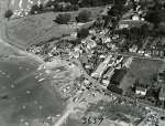
10107. Jack Botham aerial photograph 3637. Old City, Wyatt's, Gowens, City Road. Cherry Cottage in the Lane is visible - demolished soon after March 1961.
Date: 27 September 1959
Image ID JBA_332
Added 2010-07-15 08:19:23 |
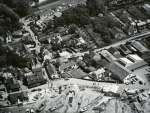
10108. Jack Botham aerial photograph 3736. Old Victory, the Lane, Gowens. View looking East.
Date: c1962
Image ID JBA_322
Added 2010-07-15 07:53:14 |

10109. Jack Botham aerial photograph 9129A. The Hard, Wyatt's slipway, Gowens, Dabchicks, Old Victory, Coast Road.
Date: After 1962
Image ID JBA_316
Added 2010-07-15 00:04:45 |

10110. Jack Botham aerial photograph 3110. Coast Road, the Hard. The hulk on the mud upper left is the PIONEER before she was rescued.
Date: c1962
Image ID JBA_286
Added 2010-07-14 07:24:51 |