Image 10 |
Search for Image ID ""Images for Maps and Charts 10
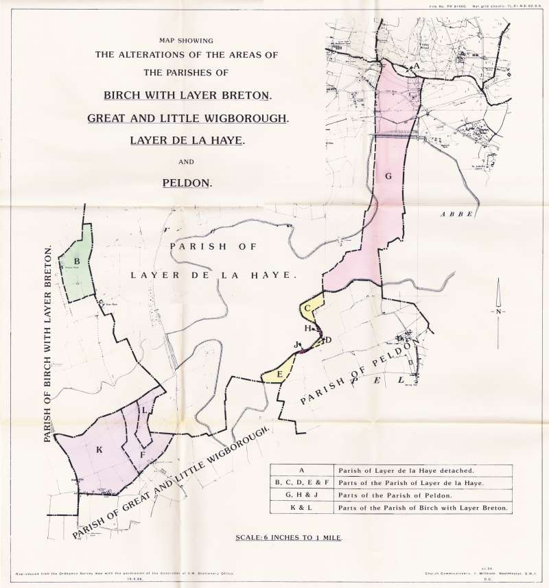
Map showing alterations of the areas of the parishes of Birch with Layer Breton, Great and Little Wigborough, Layer de la Haye and Peldon. Photo: Peldon History Project Image ID CCS_004_001 Category 1 Places-->Peldon Category 2 Maps and Charts
| |
Top | This image is part of the Mersea Museum Collection. |


